UI Design Process:
Map-based real-time defense software
A terrain defense/asset management tool for a large defense contractor
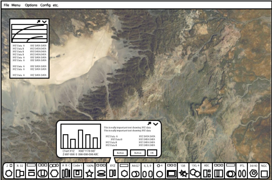
A rough brainstorm for displaying many available tools while conserving screen space for the map. The toolbar displays live info on hover, and the detail can be popped out into a persistent overlay.

A rough brainstorm for displaying many available tools while conserving screen space for the map. The toolbar displays live info on hover, and the detail can be popped out into a persistent overlay.
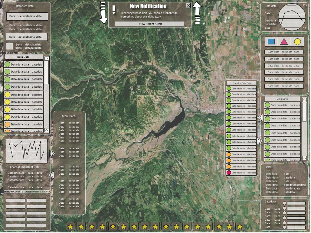
A high-level concept for displaying an extreme amount of important information on a map without obscuring the map itself.
My implemented military planning software designs are subject to a strict non-disclosure agreement, but this publicly-released image for the Integrated Air and Missile Defense Battle Command System gives an idea of how my work was used.